
| Go to the INDEX PAGE. |
 |
 |
 |  |
 |
 |
 |
 |
Click HERE to see where we went. |
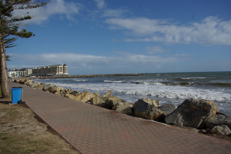
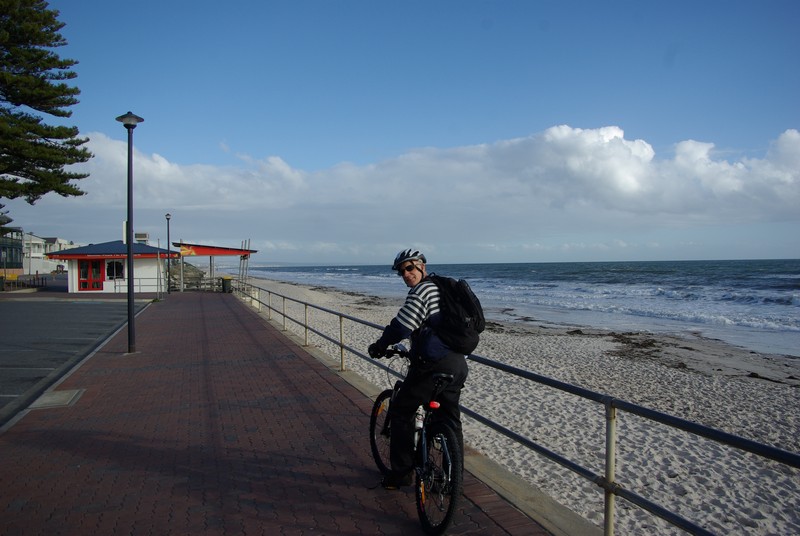
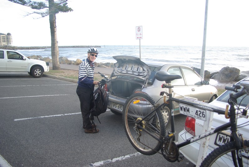
| The starting point - 34°58'17.59"S 138°30'39.12"E (Google Earth). | The brick bikeway along the coast. Glenelg apartments in the distance. | At the Torrens outlet to the sea. Ren photographing a fake pelican on the pole. | Near the Henley Beach jetty. | Water in the Torrens River just before it reaches the sea. | Another fake pelican on a pole. | Ren taking a photo of the pelican. | Back at the cars again after riding 12.6 kilometres. | |